Tegna’s WOI, WQAD Return to DirecTV
Tegna’s stations have returned to DirecTV and AT&T U-verse after a retransmission consent dispute that resulted in the stations being removed for six weeks.
The two companies said in a brief statement on Saturday, January 13, that they had reached a new multi-year distribution agreement covering 64 Tegna stations in 51 markets. Programming resumed at the beginning of a holiday weekend that included NFL playoff games on all four major networks.
Tegna stations include NBC affiliate KARE/11 (Minneapolis), ABC affiliates WOI-DT/5 (Ames-Des Moines) and WQAD/8 (Moline-Quad Cities), and CW affiliate KCWI/23 (Ames-Des Moines).
“DIRECTV and TEGNA greatly appreciate the patience of their subscribers and viewers,” the statement read.
Terms of the agreement were not released.
In a news release issued when the dispute began, DirecTV had said Tegna was seeking a rate increases “that would make it the most expensive broadcaster nationwide.”
The outage came exactly three years after a similar dispute led to a three-week Tegna-DirecTV blackout.
Des Moines and the Quad Cities are among 11 Upper Midwest markets that have were affected by previous retransmission consent disputes in 2023. (01/16/2024)
FCC Monitor:Lipetzy Buys Out Partners in Dakota/Community First Broadcasting LLC
The FCC granted Townsquare Media’s WJOD/103.3 (Asbury-Dubuque) a construction permit to move its transmitter to the WDBQ/KLYV tower in Dubuque. It will remain a Class C3 station, changing its facilities from 6.6kW/196m at its present site southeast of the city to 18kW/118m directional from the WDBQ site.
Neil Lipetzy completed the buyout of his partners in Community First Broadcasting on Dec. 31. The company owns 11 full-power radio stations in Iowa
One of the three partners in a company that owns more than a dozen radio stations in Iowa, Minnesota, and South Dakota is buying out the interest of his partners, one of whom has died.
Dakota Broadcasting LLC, the parent company of Community First Broadcasting LLC, is currently owned by Neil Lipetzy (40%), Duane Butt (30%), and Dean Sorenson (30%).
Butt died Nov. 12. Applications to transfer control of the licenses were amended Nov. 21 to state that Butt’s spouse, Barbara, is acting as his power of attorney.
According to his obituary, Butt, 83, provided tax and accounting services for several decades before retiring to a career providing business advisor services, primarily in the radio industry. He and his wife own a ranch near Fort Pierre, SD.
Under the membership purchase interest agreement filed with the FCC, Butt and Sorenson will sell their interest for a combined $5.1 million, or $2.55 million each.
After the transaction is complete, Neil Lipetzy will own 94% of the company and Theresa Lipetzy will own 6%.
Community First Broadcasting owns these Iowa stations:
Okoboji area: KUYY/100.1 (Emmetsburg-Spencer),
KUQQ/102.1 (Milford-Spirit Lake),
KUOO/103.9 (Spirit Lake)
Sheldon: KIWA/1550 (Sheldon)
and FM translator K264CW/100.7,
KIWA-FM/105.5 (Sheldon), which were purchased earlier this year
Sioux Center: KSOU/1090 (Sioux Center) and FM translator K268CZ/101.5,
KSOU-FM/93.9 (Sioux Center),
KIHK/106.9 (Rock Valley)
Storm Lake: KAYL/990 (Storm Lake)
and K260BS/99.9, KKIA/92.9 (Ida Grove),
KAYL-FM/101.7 (Storm Lake)
As of December 31, 2023 this sale has been consumated. (01/08/2023)
New Year Brings Dozens of DTV Channel Changes
Broadcast TV viewers are seeing channel changes in many markets as a result of national digital subchannel changes as the new year begins.
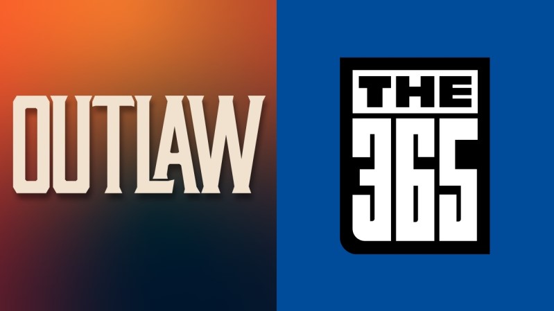
Circle and Twist have left the air, while new networks Outlaw and THE365 have launched. Meanwhile, Dabl made a change in programming from cooking and home improvement to reruns of sitcoms that originally aired on UPN, the WB, and the CW.
Here is a summary of channel changes in Iowa:
Des Moines: Tegna’s WOI-DT/5.6 replaced Twist with a simulcast of True Crime Network, which also airs on 5.2 (station website listings)
Omaha: Gray’s WOWT/6.6 replaced Circle with THE365 (station announcement)
Ottumwa: Gray’s KYOU-TV/15.3 replaced Circle with THE365 (station announcement)
Rochester/Austin/Mason City: Gray’s KTTC/10.6 replaced Circle with Outlaw
(network website)
Sioux City: Gray’s KTIV/4.6 replaced Circle with Outlaw (station announcement)
Note: Outlaw and THE365 are also listed as airing on several low-power TV stations not listed above; see the network’s websites for details. (01/02/2024)
FCC Monitor: Tighter Ownership Rules for Local TV
The following are updates to previously-reported items and other recent regulatory filings and actions concerning Upper Midwest broadcast stations. This report is created by the author and is not an official report of the FCC.
“…we are not persuaded by the sweeping claims that for the broadcast television industry to remain viable, broadcasters must be given greater opportunities to consolidate…”
FCC Report and Order, 2018 Quadrennial Regulatory Review (released Dec. 26, 2023)
The FCC has tightened regulations affecting local TV as part of its long-delayed review of ownership rules. While existing combinations will be grandfathered, the FCC says it will no longer allow broadcasters to circumvent “top four” rules by putting major network affiliations on subchannels or low-power stations. Existing combinations cannot be transferred to new owners without the FCC making a “case-by-case consideration” to allow such a transfer, similar to a procedure that has already been in place for full-power stations. The FCC noted that it approved three case-by-case requests for flexibility in 2018 and 2019.
The exact text of the new language is:
“Further, an entity will not be permitted through the execution of any agreement (or series of agreements) to acquire a network affiliation, directly or indirectly, if the change in network affiliation would result in the affiliation programming being broadcast from a television facility that is not counted as a station toward the total number of stations an entity is permitted to own under paragraph (b) of this section (e.g., a low power television station, a Class A television station, etc.) or on any television station’s video programming stream that is not counted separately as a station toward the total number of stations an entity is permitted to own under paragraph (b) of this section (e.g., non-primary multicast streams) and where the change in affiliation would violate this Note were such television facility counted or such video programming stream counted separately as a station toward the total number of stations an entity is permitted to own for purposes of paragraph (b) of this section.”
The FCC noted that its new rule does not apply to a network independently making a decision to move its affiliation from one station to another.
As for radio, the FCC did not make any changes other than dropping the word “interim” from the contour-based method that has been used to regulate ownership in unrated markets for decades. (The “interim” label had been attached when the FCC switched regulation of rated-market stations to market-based definitions rather than contours.)
LINK: FCC Report and Order, 2018 Quadrennial Regulatory Review (released Dec. 26, 2023)
KM Radio of Independence’s KQMG/1220 and KQMG-FM/95.3 (Independence) reported that they returned to the air Dec. 29 and Dec. 28, respectively.
Des Moines-based St. Gabriel Communications applied to modify the planned facilities of future KCLG/88.7 (Odebolt) to move to a tower about ten miles east of Odebolt using 36kW/84m instead of the originally-permitted 100kW/51m. The original plan was for the station to transmit from Faith Lutheran Church, which later sold the authorization to St. Gabriel Communications. The new application replaces a previous application to use 40kW/84m from a tower just northeast of Odebolt. St. Gabriel says the proposed facility will still provide new non-commercial service to more than the minimum number of people required under the competitive process used to award the permit.
(01/01/2024)